Description
MODULES AVAILABLE:
Software – MAGNET FIELD Perpetual
- MAGNET Field
- MAGNET Field + Roads
- MAGNET Field + Robotics
- MAGNET Field + Roads + Robotics
- MAGNET Field + Robotics + GPS
- MAGNET Field GPS – No Optical
- MAGNET Field + Roads + GPS – No Optical
- MAGNET Field + GPS
- MAGNET Field + Roads + GPS
- MAGNET Field + GPS + Robotics + Road
- MAGNET Field + GPS + Robotics + Roads + Hybrid
- MAGNET Field + GPS + Robotics + Hybrid
- MAGNET Field Service Plan 12 MO
MAGNET FIELD OFFERS:
FULL FIELD CONNECTIVITY
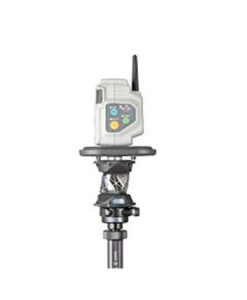
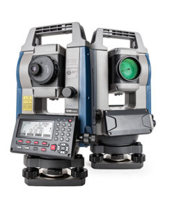
MAGNET Field is a powerful and intuitive field application software that enables you to collect survey mapping data and perform construction and road layout using total stations, levels, and GNSS receivers.
MAGNET Field is easy to use. Perform topographic and layout operations with a supportive Microsoft Bing Maps satellite image background. Carry your custom CAD standards to the field with a single screen tap; the software will instantly draw three dimensional linework and symbols.
Discover MAGNET Field features and benefits.
- Intuitive user interface
- Advanced roading tool set
- Vast library of Import / Export file formats
- Calculate, contour, and compare surfaces
- Surface staking with automatic Digital Terrain Model creation
- Colorized cut and fill indicators, as well as volume calculations
- Direct connectivity to your private Company Account for easy data exchange and quick chat
- Microsoft Bing Maps® for real-time images behind your points, lines, and imported design files
A COLLABORATIVE AND INTUITIVE TOOL
MAGNET Field software is your user interface to our positioning tools. Collect land positioning data and perform construction, road layout, and land surveying, as well as GIS mapping while staying connected with your team.
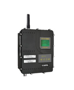
Using local Wi-Fi or integrated cellular connectivity, all mapping and positioning tasks can be performed on a vivid satellite image background giving you full visual context, and allowing you to get the full picture of your project at all times!
MAGNET FIELD FEATURES
- Topographic Survey
Collect points, lines, areas, cross sections, surfaces, and auto topo points. Select Map or Measurement View and even record offset shots all while within Topo Survey.
- Stake Points
Whatever method of layout or stakeout you need, we have the solution for you. Point, Lines, Offsets, Roads, Surface, Slope, and Real-Time Roads are all available.
- Real-Time Roads
See all the road stakeout information on one screen as you stake anywhere along the road design in real-time. Be more productive with Real-Time Roads information.
- Data Exchange
Exchange data locally via USB stick, USB cable, or more commonly connect directly to your private and secure MAGNET Enterprise company account. Import and export with over 100+ industry file formats.
- DTM Calculations
Collect volume topography and generate contours, surfaces, and calculate volumes while in the field.
Download a DEMO Copy Here – https://us.sokkia.com/sokkia-care-products/magnet-field